
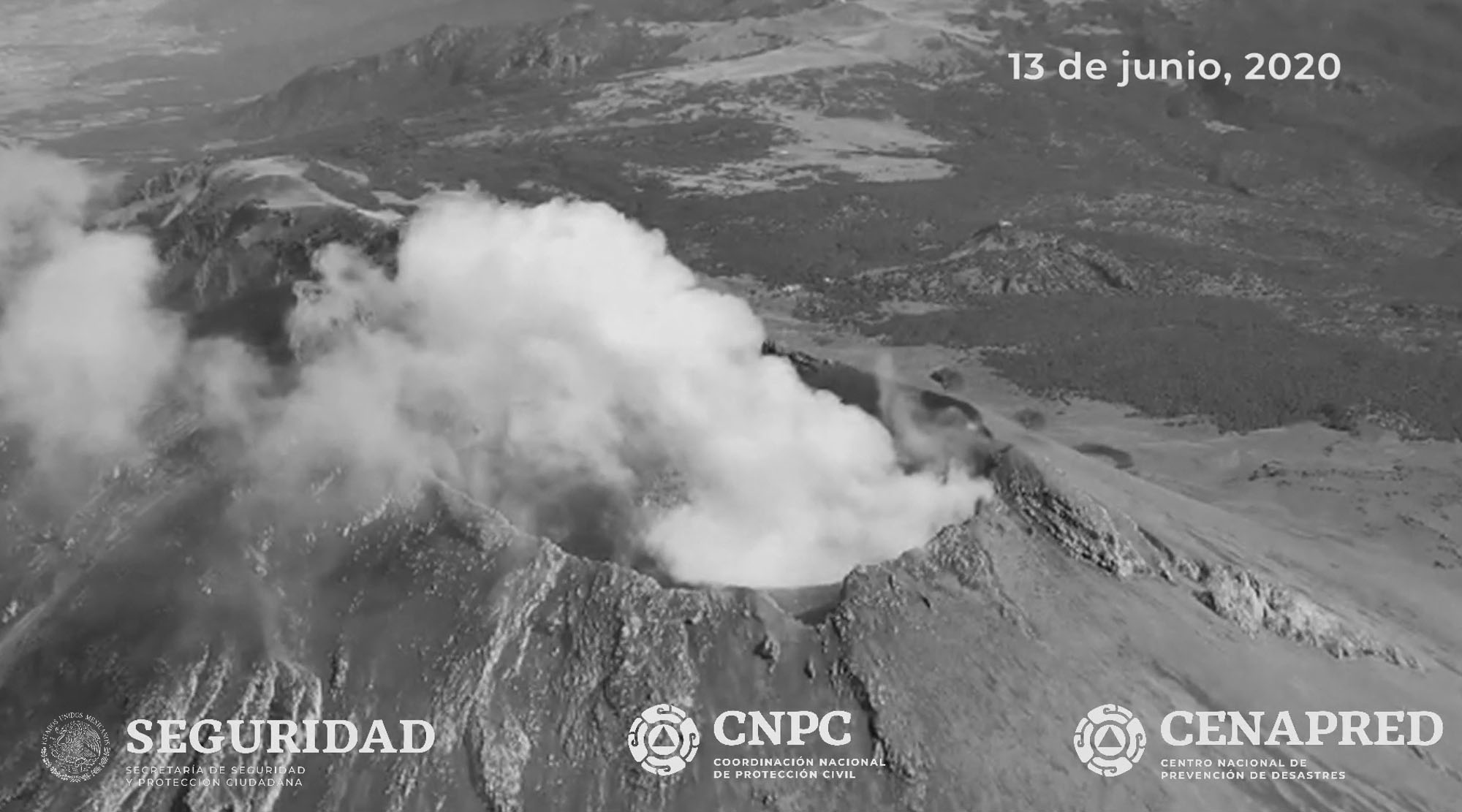
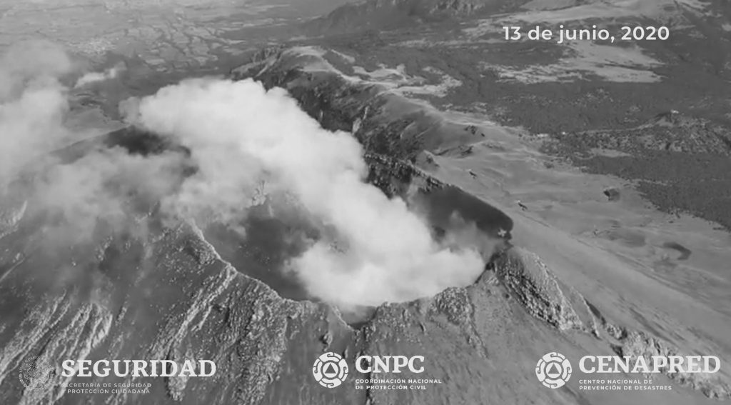
This is the incredible aerial footage over Mexico’s mighty Popocatepetl volcano after increased activity in recent days.
The footage of Popocatepetl volcano, located in the states of Puebla, Mexico and Morelos in central Mexico, 41 miles from the nation’s capital, was shared online by the National Centre for the Prevention of Disasters (CENAPRED).
As seen in the other videos, the volcano has been blasting gas and fragments high into the air over the weekend.
Researchers reportedly found remains of tephra, material produced by a volcanic eruption, on Popocatepetl during checks over the weekend.
After a dormant period, the volcano became active again in 1994 and it has been emitting ash and gases in a series of small blasts in recent months.
Mexico has at least 46 active volcanoes, but only six are considered high risk by CENAPRED.
CENAPRED, which monitors the activity of the volcano, has established a traffic light system for the volcano. If there is a green light, the volcano is quiet.
The red light indicates danger and people should be ready for evacuation.
Popocatepetl stands at 5,426 metres (17,802 feet) tall and its name comes from the Nahuatl language meaning ‘Smoking Mountain’.
It is located on the trans-Mexican Volcanic Belt which has six volcanoes and covers south-central Mexico.
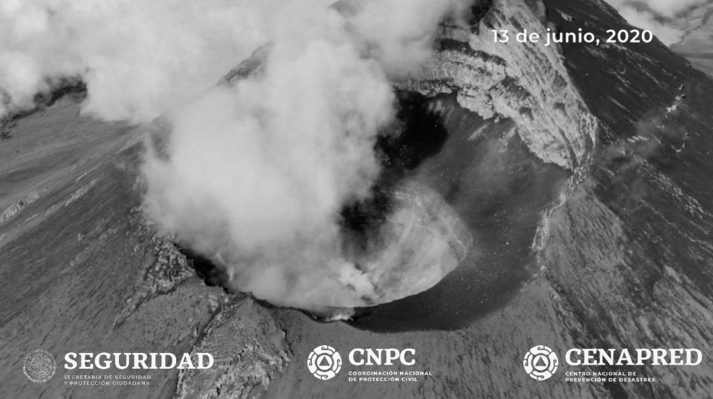
Air footage over the crater of Popocatepetl volcano 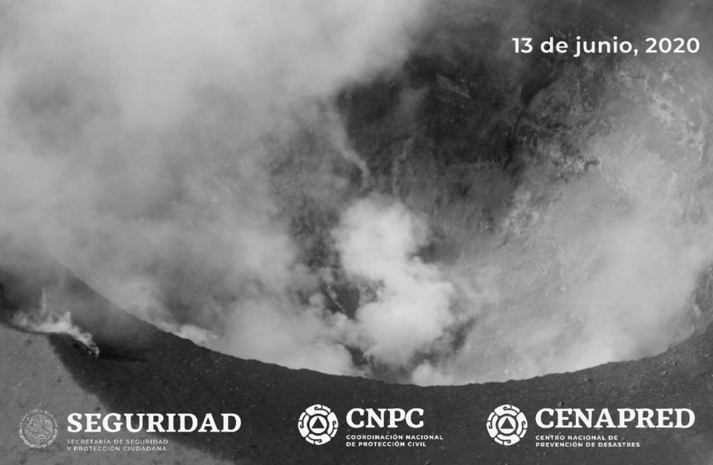
Air footage over the crater of Popocatepetl volcano
To find out more about the author, editor or agency that supplied this story – please click below.
Story By: Ana Lacasa, Sub-Editor: Joseph Golder, Agency: Newsflash
The Ananova page is created by and dedicated to professional, independent freelance journalists. It is a place for us to showcase our work. When our news is sold to our media partners, we will include the link here.

