
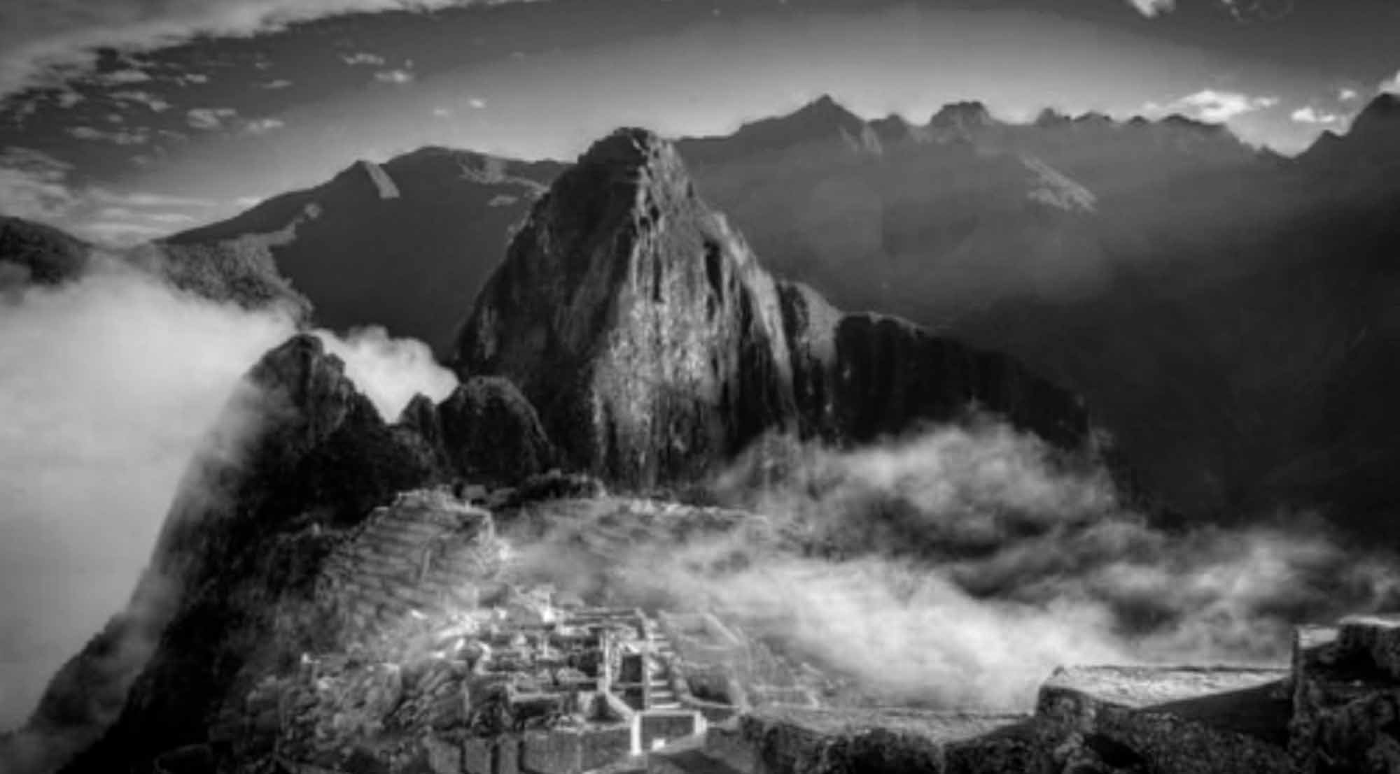
A geologist has claimed he has solved the mystery of why Machu Picchu was built on its location – saying the Incas crafted it on top of geological fault lines as the rocks there are easier to carve.
Brazilian geologist Rualdo Menegat, from the Federal University of Rio Grande do Sul in Brazil, made the claim at the annual meeting of the Geological Society of America.
He presented the results of his team’s geological analysis which he said suggested the Incas intentionally built Machu Picchu on tectonic fault lines because the rocks are easier to carve and helped channel water to the citadel.
Menegat said: “The location of Machu Picchu is not a coincidence. It would be impossible to construct a place like that in the high mountains if the substratum did not fracture.”
He said that the location of the city on fault lines would have helped with their construction as the rocks were weaker in the area and “predisposed to breaking along the lines of weakness, greatly reducing the energy needed to carve them.”
The geologist said that other Inca cities such as Ollantaytambo, Pisac and Cusco were also built on the intersection of geological faults, saying: “Each one of is the precise expression of the principal directions of the geological faults of their location.”
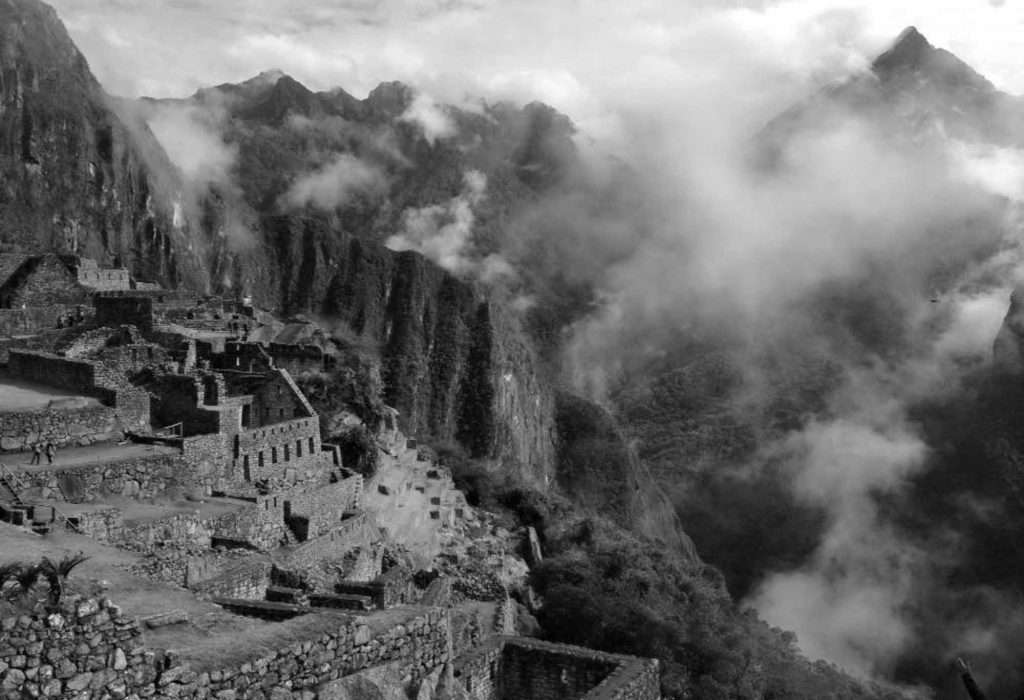
Menegat added that the geological faults would have helped “canalise water” to the cities and also helped drain water from the cities during periods of intense rain.
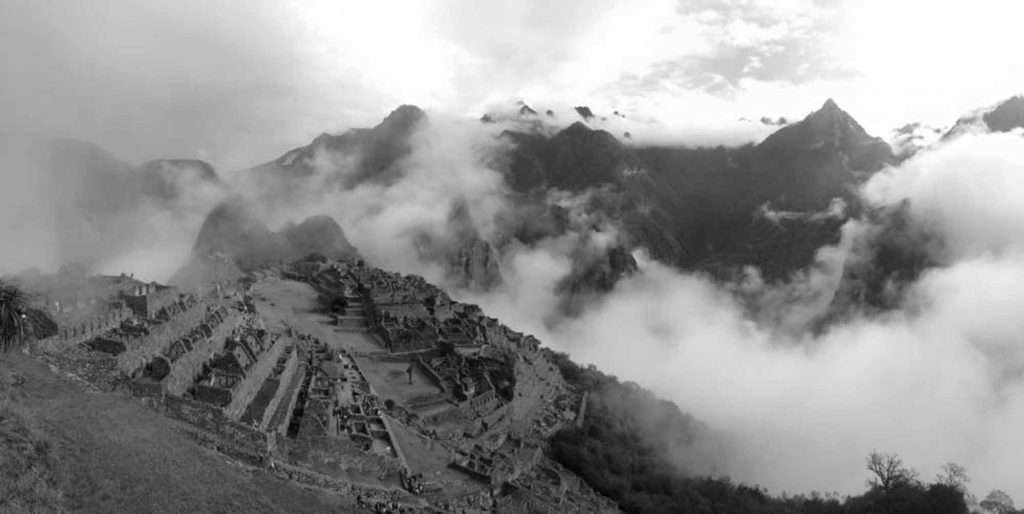
Menegat and his team used satellite imagery and measurements from the field to create a map of the network of fractures and faults which cross below the UNESCO World Heritage Site.
The analysis indicates that the features vary widely in scale, from small visible fractures in the surface rock to large alignments measuring 175 kilometres in length which control the orientation of some of the valleys in the region.
The team found that some of the faults were orientated from the north-east to the south-west while others were from the north-west to the south-east, collectively forming an ‘X’ which crosses below Machu Picchu.
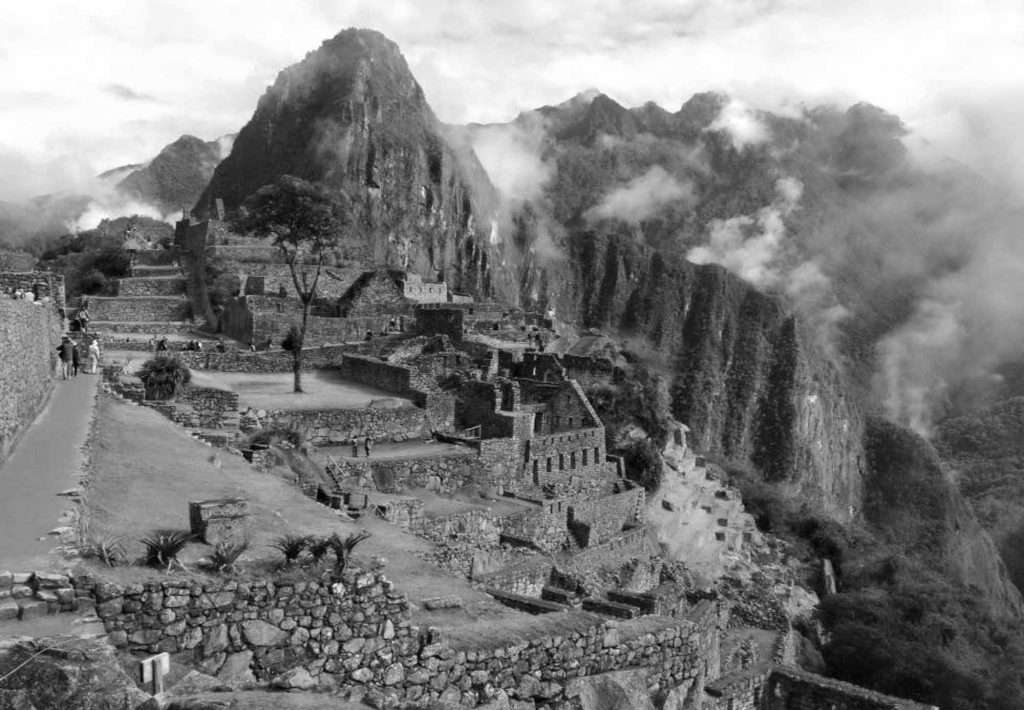
Menegat’s map suggests the urban areas and the farming fields around the site, as well as the buildings and steps, are orientated along the trends of the important fault lines.
He said: “The design clearly reflects the matrix of fractures underlying the site. Machu Picchu clearly shows us the Inca civilization was an empire of fractured rocks.”
To find out more about the author, editor or agency that supplied this story – please click below.
Story By: Alex Cope, Sub-Editor: Joseph Golder, Agency: Central European News
The Ananova page is created by and dedicated to professional, independent freelance journalists. It is a place for us to showcase our work. When our news is sold to our media partners, we will include the link here.

